
Cincinnati Transit Map Launch
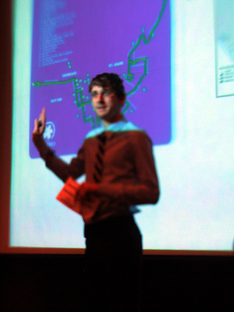
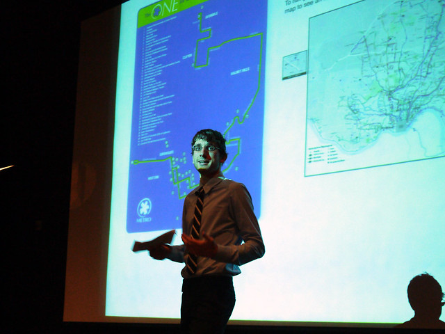
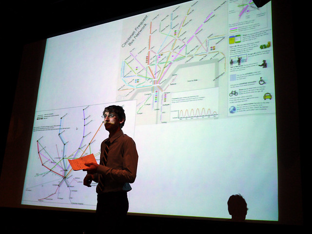
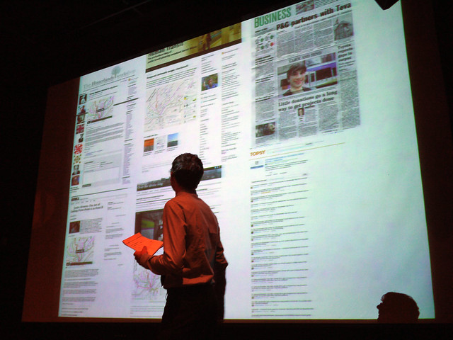
Nate Wessel a UC Planning grad student, fed up with the state of the metro map took it upon himself to create a solution. Nate made his map after being frustrated by the lack of any clarity in the maps provided by SORTA and TANK. Nate says his intent was to make this map useful for tourists or people who are new to the transit system such as university students and other new residents. He says, "Hopefully it is legible enough that someone who has never been on a bus before can understand how to use one, and someone who rides all the time, can see new places they can easily go that they might not have known of."
Nate, "Basically, the map highlights routes that are the most frequent and simple, and therefore convenient to use. These routes are the backbone of the transit system. Up until now, there has been no way to figure where the routes go in context let alone where they intersect and connect with each other."
Can crowd sourcing and individuals make a difference in the community, I think Nate answers the question with a resounding yes.
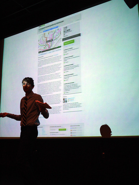
Here is the really interesting part, once Nate had the map finished he signed up on kickstarter. What kickstarter does is gives you a template for your product pitch and lets people pledge support. Now the cool thing is, the money is never collected until the goal is met, no wasting time returning peoples money or trying to do a half assed job with half of what was really needed. The money is collected at one time and given to the creator of the project. Nate met his goal in 5 five days and then by the deadline had almost double what he needed. Nate said what surprised him most is he had pledges from all over the country and world. He now has enough to print 30,000 maps to distribute. UC student government is going to have 6,000 more printed up for students next fall.
Nate has also deliberately made the project open source. Anyone with the ambition can take it, modify the map, sell it or do whatever they want. As long as their modifications are also kept open source.
UPDATE After an email and then a twitter conversation this morning I started thinking about how the current map and website are seemingly designed to discourage people from riding the bus. I'll admit there has been a number of times I wanted to ride the bus, and after trying to figure out the best way just threw my hands up in disgust, "F#@K IT!! I'll just drive!"
Since the map is open source, every business, non-profit, government and non-government org should add their location to this map, print it out and distribute it with what ever materials are sent to customers, clients and consumers. At the very least, add it to whatever web presence you have, Facebook and your website.
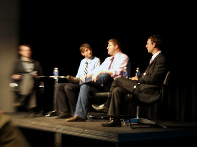
After Nate's presentation there was a panel discussion and Q&A with Nate, Colin Groth (Government Relations Director for Metro), Brad Thomas (Transit Expert and Founder Cincystreetcar.com) and moderated by Peter Chamberlain (Assistant Professor Industrial Design, University of Cincinnati DAAP)
Basically an overview of the state of, or lack of transportation options in Cincinnati. Colin Groth stated that in every category of the top fifty cities in the country, Cincinnati hit 24th, 25th or 26th in every single one. except funding, Cincinnati slightly edges out North Dakota in per capita spending on public transportation.
comments?
![]()


No comments:
Post a Comment